This model is restricted by licensing terms.
View license.
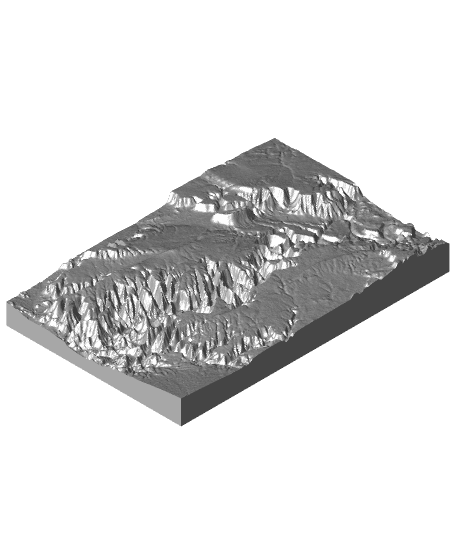
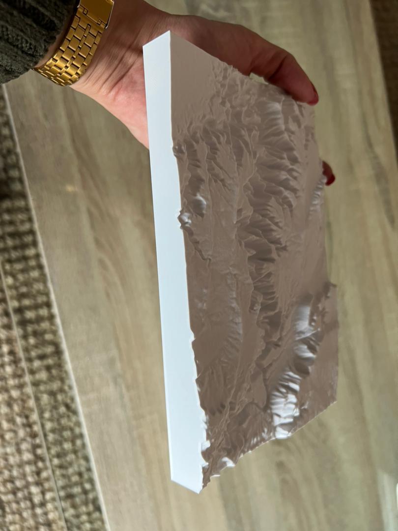
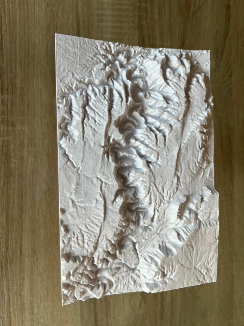
This is a topographic map of the Fish River Canyon in Namibia that I created using https://touchterrain.geol.iastate.edu/
Print Settings
Resolution: 0.16
Infill: 10
Scaled down to 50% and printed on it's side along the y-axis for better quality with a brim with a line count of 30.
Thank you for supporting my design. I really appreciate it.
17 Likes11 DownloadsAugust 4, 2023
17 Likes11 DownloadsAugust 4, 2023
This model is restricted by licensing terms.
View license.


