Motatapu MTB ride
6 downloads · 5 years ago · Model originally uploaded to Thingiverse at https://www.thingiverse.com/thing:2556417.
Topographica
This model is restricted by licensing terms.
View license.
Model originally uploaded to Thingiverse at https://www.thingiverse.com/thing:2556417.
Topographical relief map of area between Wanaka / Glendhu Bay and Arrowtown showing the Motatapu MTB track.
Topographical data: Sourced from the LINZ Data Service http://data.linz.govt.nz/layer/772-nz-primary-parcels and licensed by LINZ for re-use under the Creative Commons Attribution 3.0 New Zealand licence.
This model is restricted by licensing terms.
View license.
.png&w=3840&q=75)
Elfbar 600 Vape tube

DJI Osmo Nano Chest Strap
.png&w=3840&q=75)
MicroRider – Finger Bike
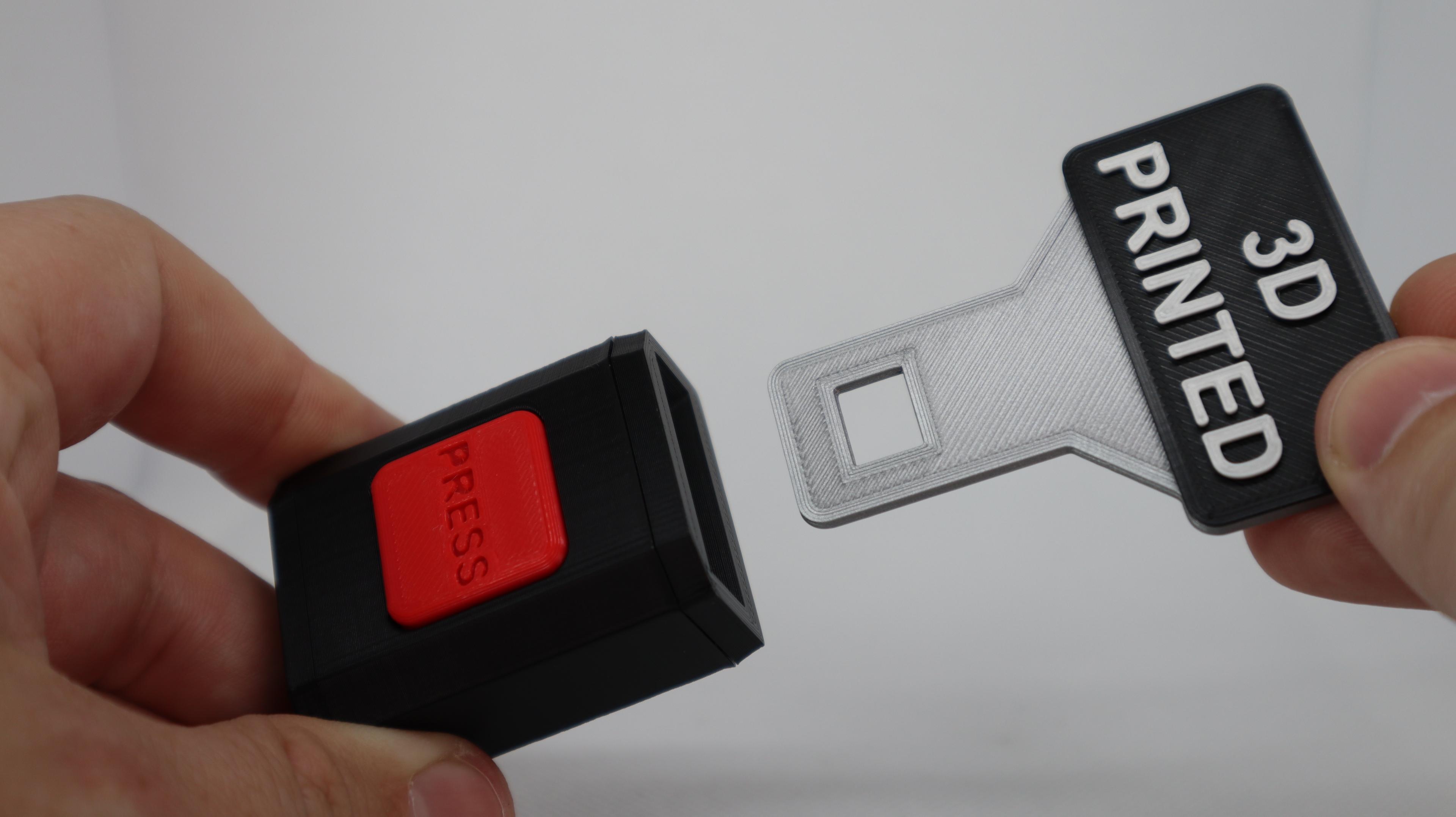
Seat Belt Buckle Desk Fidget Toy

Warthog - Halo Kit | No Supports, No AMS, No Glue

Tiger Controller Stand – Creature Series #4

Headless Horseman - Articulated Snap-Flex Fidget (Tight Joints)

Santa's Sleigh - Christmas Kit | No Supports, No AMS, No Glue
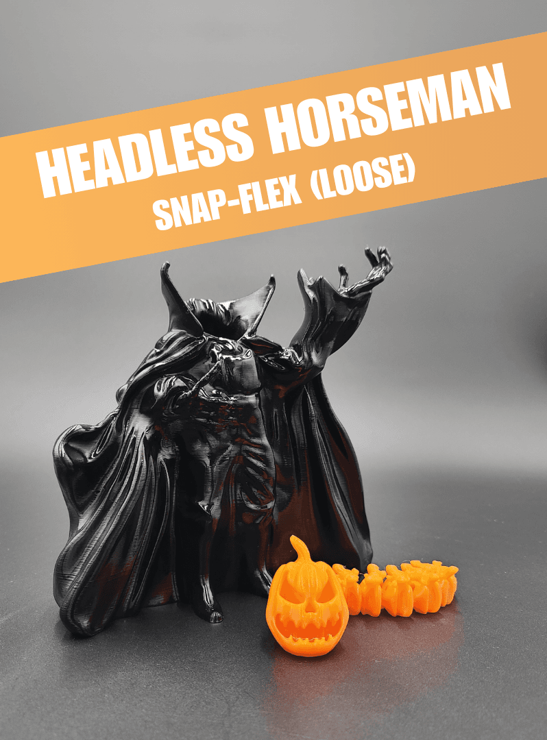
Headless Horseman - Articulated Snap-Flex Fidget (Loose Joints)

Valentine Carousel
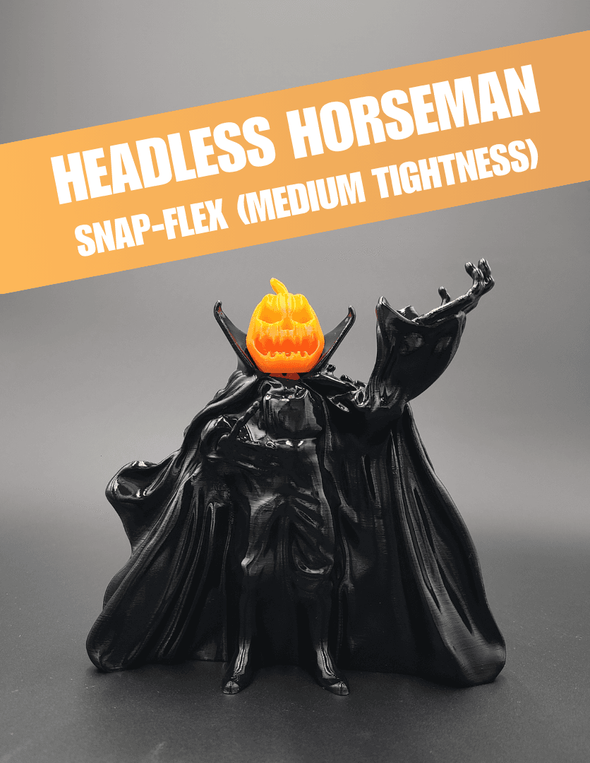
Headless Horseman - Articulated Snap-Flex Fidget (Medium Tightness Joints)
.png&w=3840&q=75)
DBS 3D Printed Carbon Fiber Bicycle Frame

Alien & Cat UFO Keychains
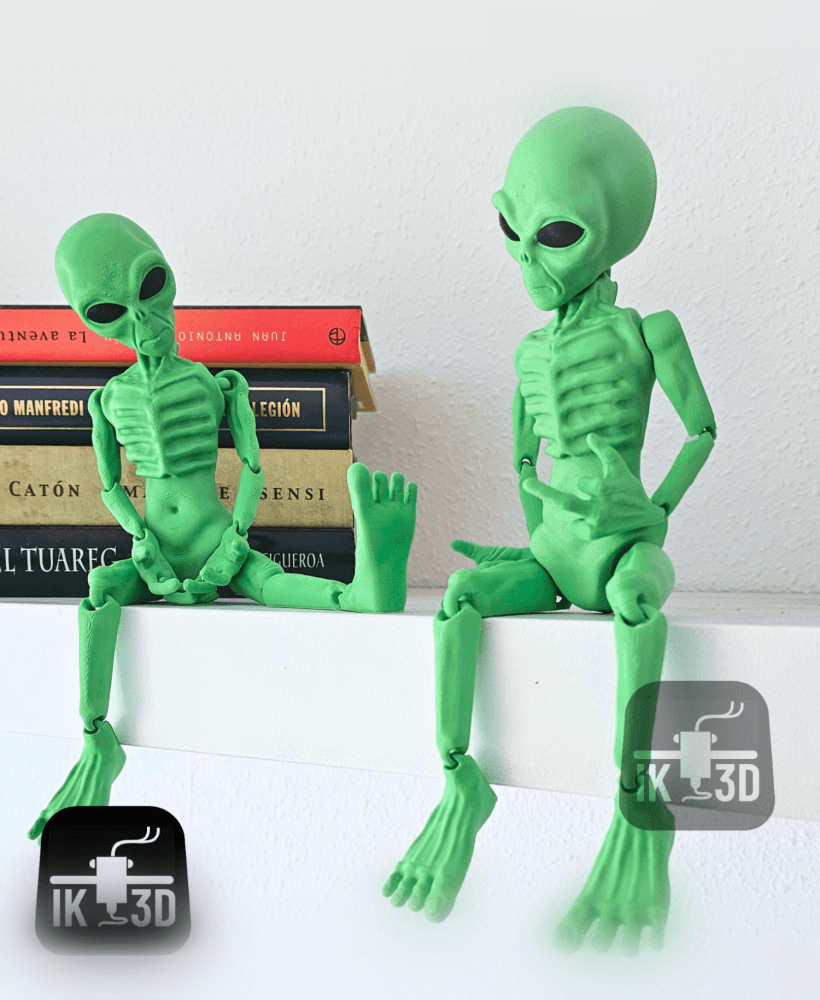
Flexi Alien / Print in Place / Multiparts & Multicolor
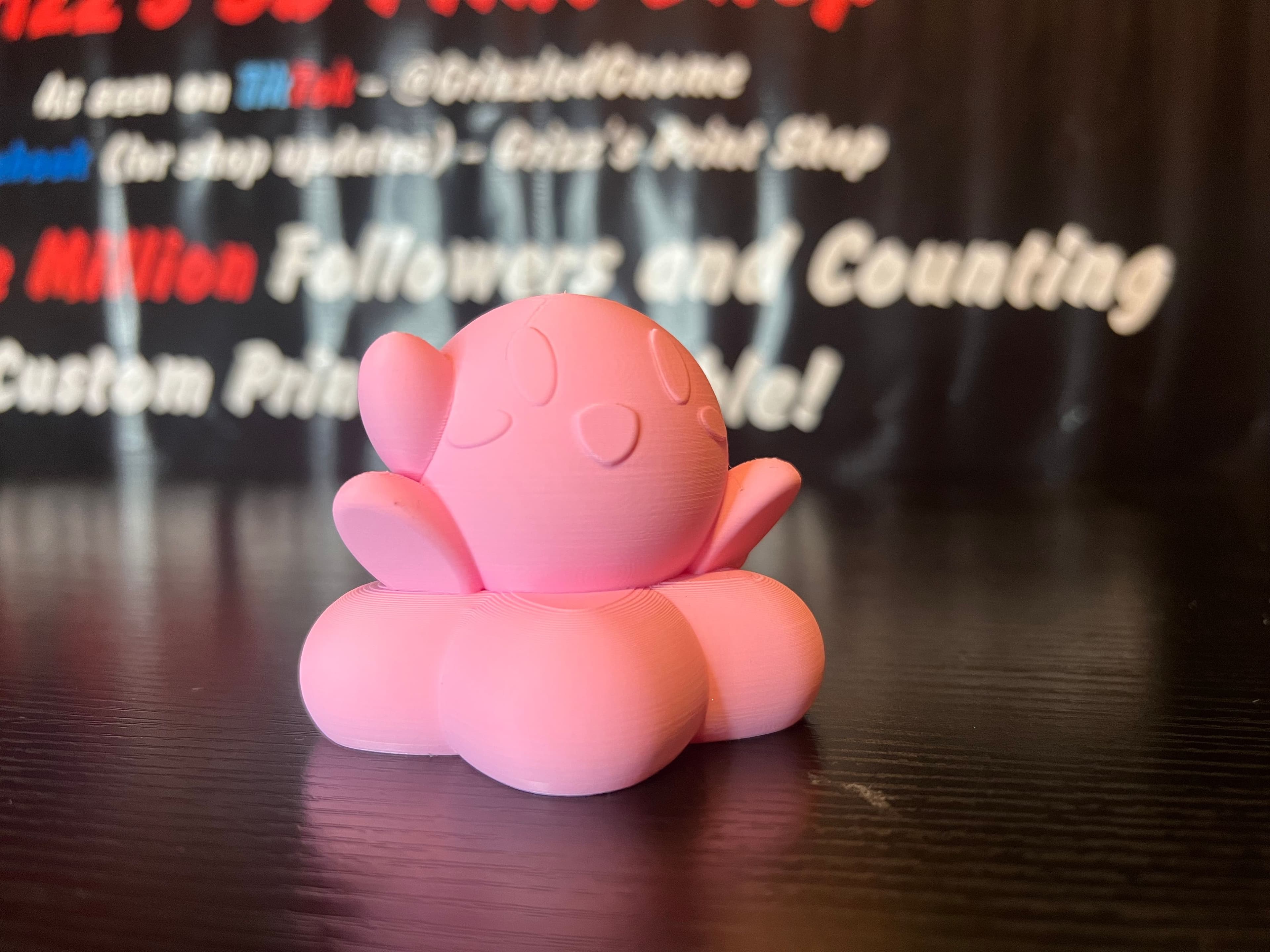
Kirby riding warp star - Print in place
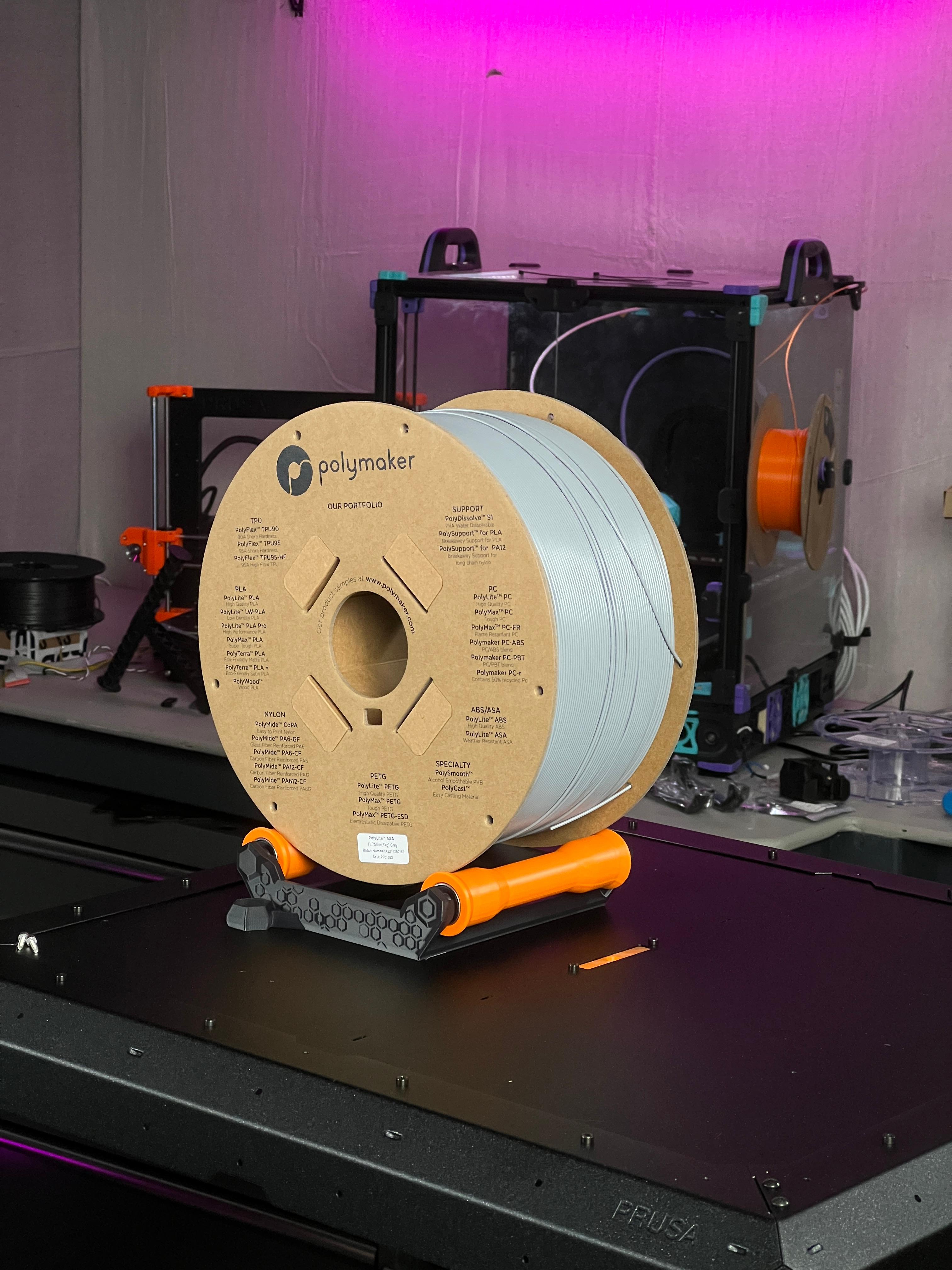
Prusa Enclosure 3kg Spool Holder
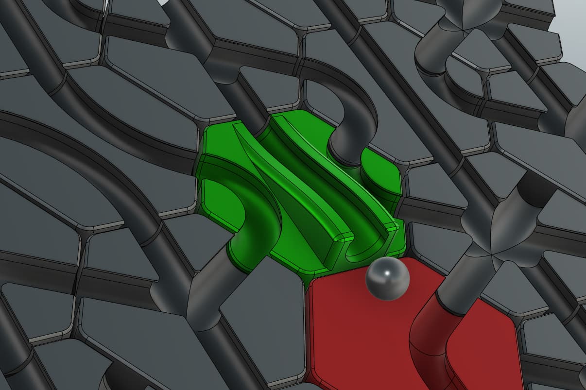
Hextraction DIC Over Tile
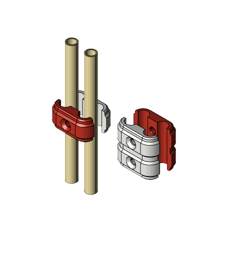
.375" Fuel Line Tubing Clamps - Double Fuel, Air & Oil Lines
Mario dice tower