This model is restricted by licensing terms.
View license.
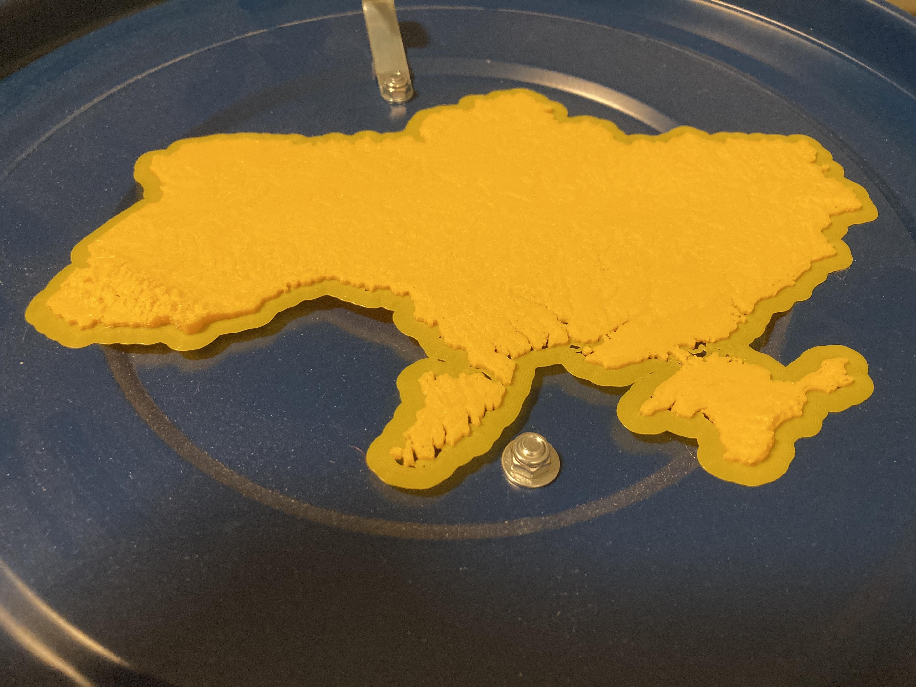
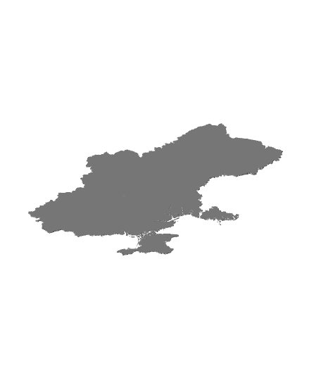
Ukraine at 1:1000000 scale. 🇺🇦 слава украине
Low poly version uploaded to reduce file size. "ua_1km_40perc_printable.stl" has been cleaned up to print in one piece with a 0.4 mm nozzle when XY is scaled at 40% (fits Ultimaker build area).
1:1000000 horizontal scale 1:200000 vertical scale WGS84 coordinate reference system
Data: USGS GMTED2010
STL was originally generated from a 100m resolution DEM and decimated with a 0.1 ratio to make it easier to transfer online. As a result, the smallest detail on this model in real life is approximately 1000 m on the horizontal plane. Elevation is multiplied by 5 for ease of recognition.
Category:
5 Likes42 DownloadsApril 4, 2022
5 Likes42 DownloadsApril 4, 2022
This model is restricted by licensing terms.
View license.
.jpg&w=3840&q=75)

