This model is restricted by licensing terms.
View license.
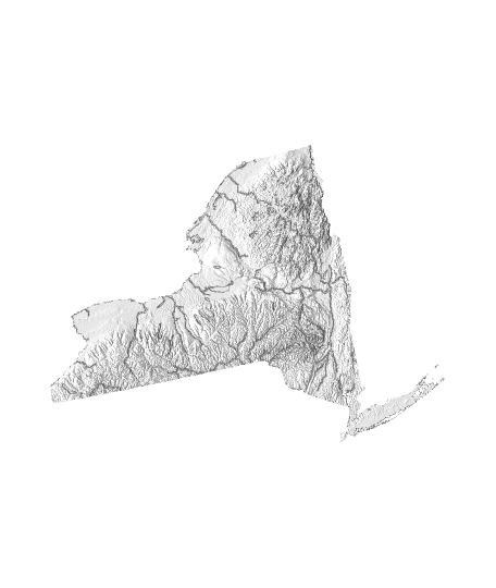
A topo map of New York, USA. Lower poly version uploaded due to file size limitations.
Data: USGS GMTED2010, Hydro1k, HydroSHEDS HydroLAKES
STL was originally generated from a 500m resolution DEM and decimated with a 0.1 ratio to make it easier to transfer online. As a result, the smallest detail on this model in real life is approximately 5000 m on the horizontal plane. Vertical elevation has been multiplied by 5x to show detail.
1:1000000 horizontal scale 1:200000 vertical scale USA Contiguous Lambert Conformal Conic 7.5 arc second GMTED downscaled to 500m using cubic Streams and lakes lowered by 0.5 mm
Categories:
4 Likes14 DownloadsMarch 5, 2022
4 Likes14 DownloadsMarch 5, 2022
This model is restricted by licensing terms.
View license.
